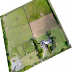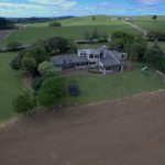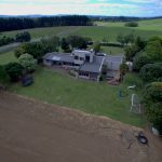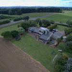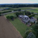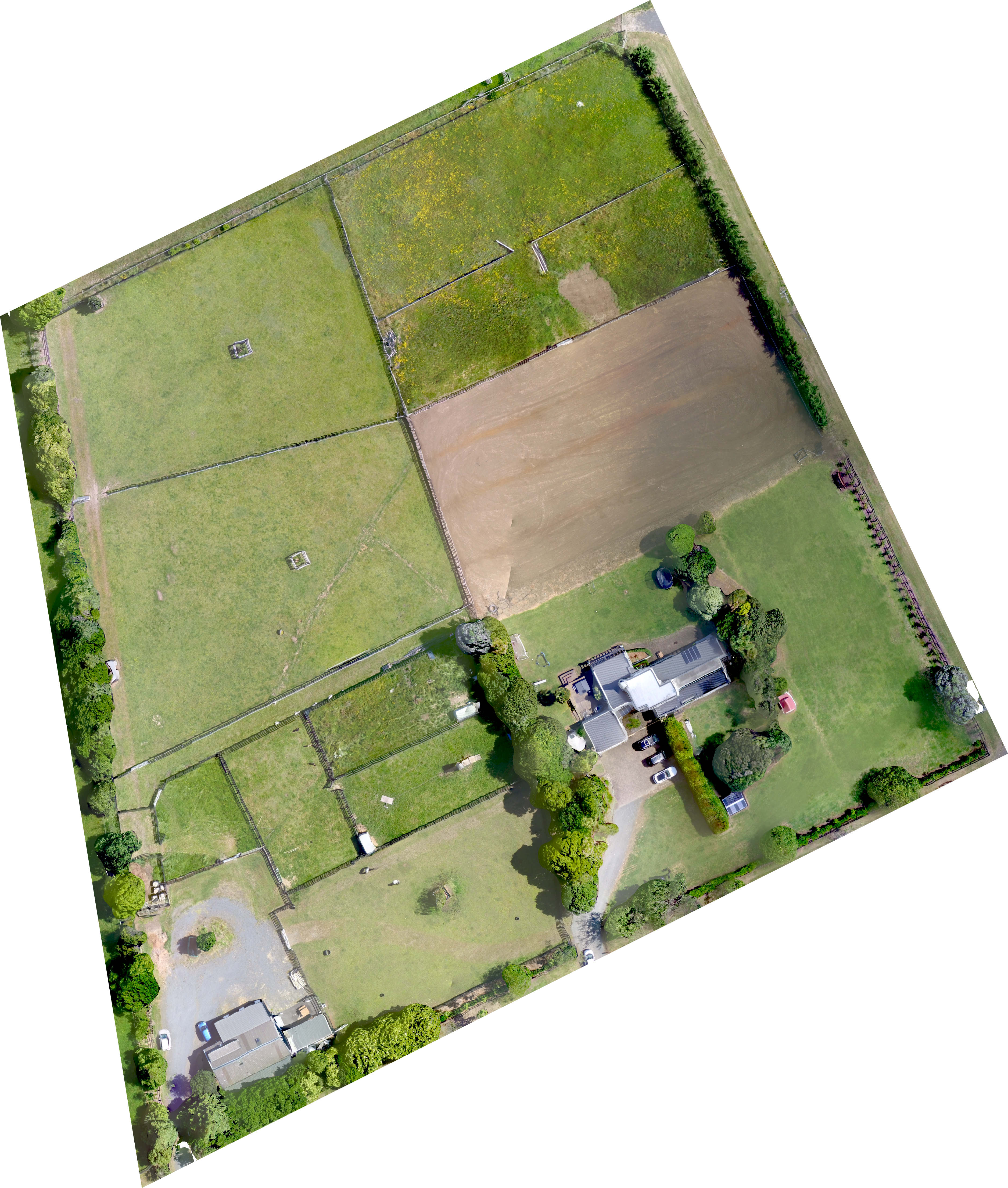
Orthomosaic images are taken by flying a grid pattern over the property and taking multiple pictures. We then use software to stitch these together to provide a detailed view of the entire property which is georeferenced and can be overlaid into a map.
These are useful to when monitoring soil erosion, tracking building progress etc.